Jack and Barb,
Hike the Pacific Crest Trail
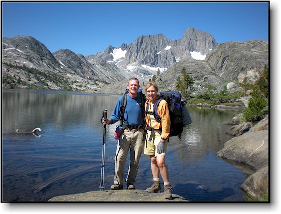
Image from 2008, near the PCT (Garnet Lake, out of Mammoth Lakes, CA)
Quick Links
Journal entries
Google map with our location (click on "S" to zoom)
Our itinerary
Call it a mid-life crisis or more appropriately, a 2/3rds life crisis. One morning Jack woke up and said "You know, I have wanted to thru-hike the PCT ever since I heard about it a few years ago. And, if I don't do it now, then when?"
So, the wheels were set in motion. He told Barb of his plans - it was his thing after all and he didn't expect her to join him but after some thought, Barb was on board as well (well, maybe).
Why? Well, that's a very good question and without going into great detail, there are a number of reasons but let's just say "It's not the destination but the journey". If you read the journal (link below) you will quickly see why it was such a fantastic journey!
So, November, 2010, here we were preparing for "The Big Hike" - over 2,600 miles from Mexico to Canada (see a map here). And there were a lot of logistics involved: Getting permits, setting up light backpacks with only the bare essentials. Planning on food resupply points every 5-7 days or so. Food is mailed to small stores and towns near the trail and we hiked or hitchhiked out to the town, rested for a day, picked up our stuff and continued on our merry (?) way.
We started on April 17, 2011 and set ourselves up for an easy hike for the first 110 miles to Warner Springs. Then, we attended the big party at Lake Morena on April 29th. With full packs, we resumed our hike from Warner on April 30th. We encountered unseasonably high snow in the Sierras and extremely challenging river crossings. Barb hiked the PCT for over two months and made it as far as Mammoth (mile 903) then was forced to withdraw due to a back injury. Jack continued on and arrived in Canada on September 27th. After checking off a section in Oregon that was previously closed due to fire, Jack completed the entire trail on October 2nd.
It wasn't easy and it wasn't always be fun but it was definitely an adventure - maybe one to top any adventure we have ever done!
We were carrying a device called SPOT (personal locator beacon) that allowed us to check in on a regular basis via satellite. It placed our location on a Google map that anyone could access and it also allowed us to transmit a search and rescue message in the event either or both of us needed assistance. Our location was updated every few days as our journey progressed.
We also documented this trip with a trail journal and carried a smart phone which we used to update the journal whenever we were in range of a cell tower or wi-fi connection (mostly in the towns).
The trail journal also includes a link to a google map with our daily locations and journal entries by date. If you are interested in the details of the trip, we recommend you peruse the journal.
Here is a quick overview of the journal page
1) On the upper left you can choose journal entries, "first", "previous", "next" and "last" If you want to jump around, it is easier to go to the upper right side of the page and choose the drop down arrow under "View".
2) There is a box on the left that includes our last SPOT location on a google map, a PCT map that shows our trail to date and some other assorted links, like the gear we are taking and our proposed itinerary.
3) We uploaded images as well. They are on the right side of each page and numbered. Click on any small image for a larger version.
Here is the link to our journal.
We welcome all to sign our Guestbook (on the journal page) as often as you like! Learn more about the PCT (facts and info and altitude profiles here).
ONWARD!
Jack and Barb (JnB)
Contact us by Email at: JackandBarbPCT@Gmail.com, text messages to 760-803-9595